Pico Bonito National Park is the largest protected area in Honduras and one of the most biodiverse ecosystems in Central America. Almost 100,000 hectares of primary rainforest, waterfalls, clear rivers and a fauna list that includes jaguars and quetzals.
The park in brief
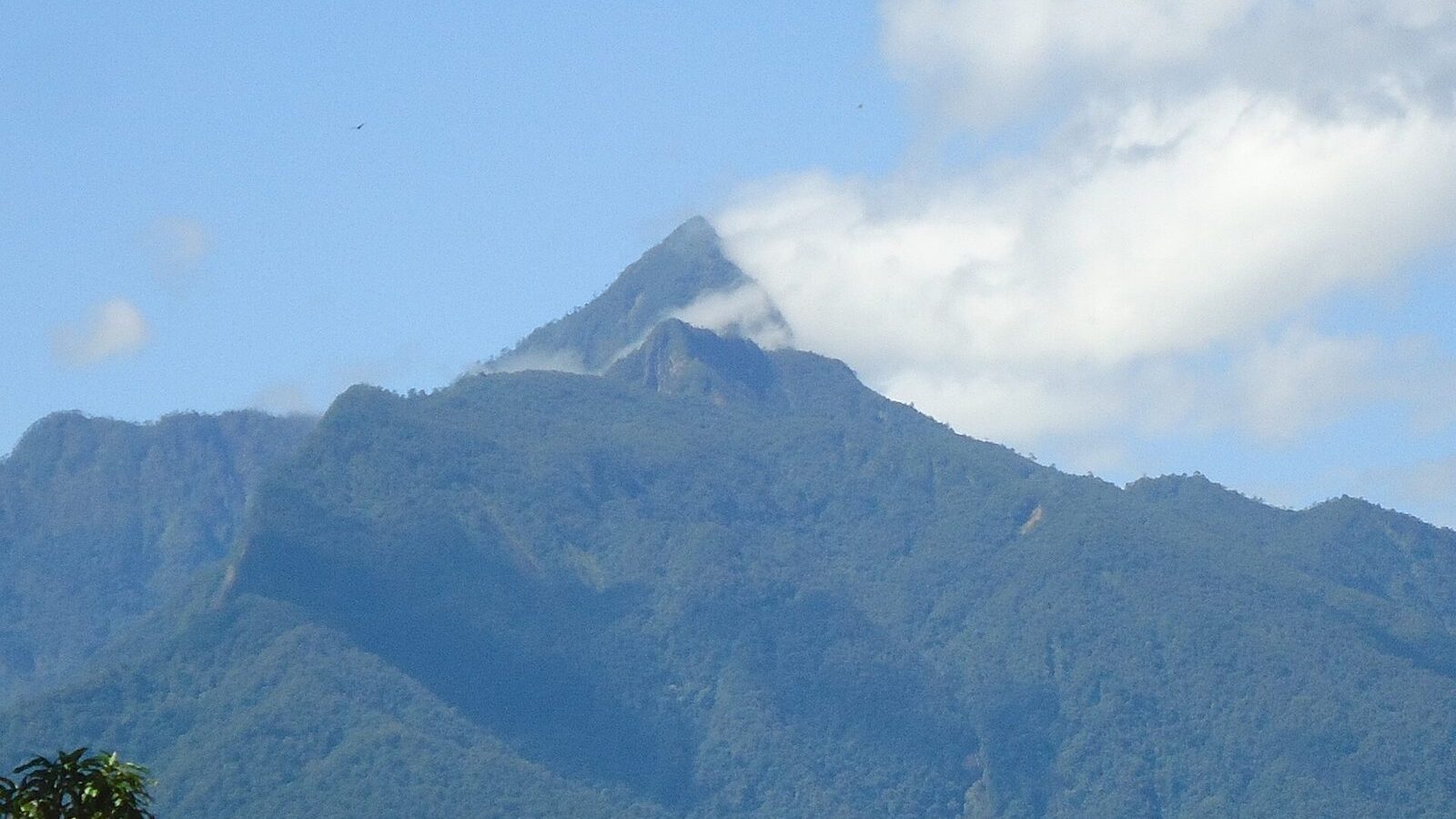
Pico Bonito — “beautiful peak” — takes its name from the mountain dominating it, at 2,435 metres. The park runs from the Caribbean coastal plain up to the summits of the Nombre de Dios range.
- Area: 107,107 hectares — larger than several Caribbean countries.
- Created: 1987.
- Where: 20 km from La Ceiba, Atlántida department.
- Ecosystems: seven, from mangrove through rainforest to cloud forest.
Wildlife
Birds — more than 400 species
The quetzal is the one everybody wants, found at higher elevations. Below that: several species of toucan, parrots and scarlet macaws, trogons — the quetzal’s relatives — and dozens of hummingbirds.
Mammals
Jaguar and puma are present in the remote sections and effectively never seen. More realistically you may come across ocelot or margay tracks, Baird’s tapir — the largest land mammal in Central America — white-faced, spider and howler monkeys, peccaries and coatis.
Reptiles and amphibians
Green and black iguanas, snakes including the fer-de-lance — which is a genuine reason to watch where you put your feet — and brightly coloured poison dart frogs.
The trails
Zacate Waterfall trail
The most popular and accessible route in the park: about 2 km each way, 45 to 60 minutes up, easy to moderate. It ends at a 15-metre waterfall with a pool you can swim in. Rainforest, hanging bridges and good birdwatching on the way.
The Cangrejal side
On the eastern flank, reached from the Cangrejal valley road, with trails leading to viewpoints over the river and the option of combining a walk with rafting in the afternoon. This is where most of the lodges are.
Longer routes
Multi-day expeditions towards the higher forest exist but require a registered guide, permits and real preparation. The summit itself is a serious undertaking and rarely climbed.
Practical information
- Guides: required for most trails and genuinely worth it — you will see roughly ten times as much wildlife.
- Best time of day: start at first light for birds and to beat the heat.
- What to bring: closed shoes with grip, repellent, water, rain jacket. It rains here in any month.
- Getting there: 20 km from La Ceiba, by taxi or with your lodge’s transport.
- Where to stay: several ecolodges sit along the Cangrejal valley, inside or on the edge of the park.
Entrance fees and trail access change; confirm with the park or your lodge before travelling.