Ometepe is one of the most extraordinary places in Central America. Formed by two volcanoes rising out of Lake Nicaragua, its name means “two mountains” in Nahuatl. A UNESCO Biosphere Reserve, it offers volcanoes to climb, waterfalls, freshwater beaches, ancient petroglyphs and a pace of life that seems to have stopped.
The two volcanoes
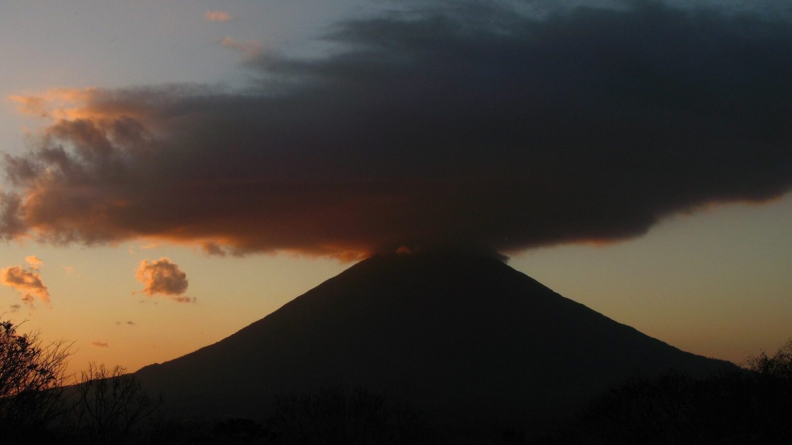
Concepción
The more imposing and more demanding of the two. At 1,610 metres it is the second highest volcano in Nicaragua and has an almost perfect cone.
- Status: active, with significant activity as recently as 2010.
- The walk: 8 to 10 hours return.
- Difficulty: very high — one of the hardest hikes in the country.
- Guide: compulsory.
- Start: usually from La Flor, 4 km from Moyogalpa.
The climb is extremely steep, especially the last 400 metres over loose volcanic rock. On a clear day you can see both of Nicaragua’s coasts from the top. It is not recommended for beginners or anyone without real hill fitness.
Maderas
More accessible and a different experience altogether: its crater holds a jade-green lagoon surrounded by cloud forest.
- Height: 1,394 metres.
- Status: dormant for more than 800 years.
- The walk: 7 to 8 hours return.
- Difficulty: moderate to high. Guide compulsory.
- Start: Finca Magdalena, Hacienda Mérida or Finca El Porvenir.
The trail climbs through tropical forest into cloud forest at the summit. The descent into the crater to reach the lagoon is steep and slippery — and extremely muddy in the wet season — but worth it.
What else to do
- Ojo de Agua: natural spring-fed pools of clear, cool water, the best place on the island to spend an afternoon.
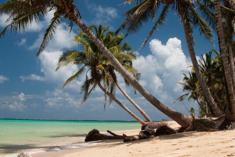
- Playa Santo Domingo: the main freshwater beach, on the isthmus between the two volcanoes.
- San Ramón waterfall: a 50-metre fall on the Maderas side, reached on a steep walk.
- Petroglyphs: pre-Columbian carvings scattered across the island, concentrated around Finca Magdalena and Altagracia.
- Kayaking the Istián river between the volcanoes, through wetland full of birds and caimans.
- Charco Verde: a small reserve with a lagoon, monkeys and a good sunset.
Getting there and around
The ferry leaves from San Jorge, near Rivas, and takes about an hour to Moyogalpa. It can be genuinely rough when the wind is up; the larger ferries handle it far better than the small boats.
On the island, the options are local buses (cheap, slow, infrequent), hired scooters or quad bikes — the standard choice — or taxis. Roads are part paved, part rough track. If you hire a scooter, check the brakes before you leave.
Practical advice
- Bring cash: there are few ATMs and they run dry.
- Allow three nights minimum. Most people stay longer than they planned.
- For either volcano, start at first light and take far more water than feels necessary.
- Power cuts are routine. A torch is useful.
- The dry season, December to April, makes both climbs considerably safer.